Wicked: For Good was released on Friday the 21st of November, and this time around I decided not to hit the cinema on opening day as I did for the first part, but to head out on Saturday. That way I could make a day out of it, combining the film with a mineralogy and gemology event. I had to work on Friday morning anyway, so there was no way I could make it to the first session even if I tried. Unfortunately, the weekend coincided with planned railway maintenance – which meant no trains whatsoever.
Getting to Madrid with the train system out (albeit scheduled) was not an odyssey, but close to it. I got to the coach station with 20 minutes to spare, and I had to queue up in a long line. Fortunately, I made it to the bus – good, because I had a timed ticket I had bought online. I learnt later that you can buy a ticket “for the next bus” on site and it’s actually cheaper… There were extra coaches running at the same time to make up for the lack of trains, which makes sense. The train company had arranged coaches of its own, but it charged “train money” for “bus service”. Well over a hundred people had decided, just like me, to take a bus at bus price.
The trip was uneventful with few stops, and I reached the terminus Avenida de América before I had to take the underground to get to Ríos Rosas. That placed me at the ETSIME Escuela Técnica Superior de Ingenieros de Minas y Energía around noon, total peak time. The place was packed with people who had heard about the Expogema event but had no idea what they were getting into – and were therefore “upset” that the event only had “rocks”, and that they were expensive (“lady, I cannot sell you a 400-euro tourmaline for 60 quid” was one of the sentences that echoed in the chambers). I had to take three walks around the fair in order to just see what was on display. I could not afford most of what was being exhibited anyway and for a change, I left without buying anything. I would make up for that on the 2026 Expominerales in the end…
Expogema is the fair dedicated to exhibiting and selling gems and gem-adjacent items such as jewellery. It is organised yearly by the Spanish gemological Institute, Instituto Gemológico Español IGE is a non-profit organisation, created in 1967, as a jewellers’ association. Today it independently certifies and appraises gemstones and jewels, especially diamonds. It works with individual owners, insurance companies, and anyone who is interested in a particular piece. It emits super-complete certificates which describe any gem to boot. Unfortunately, since their analyses are purely physicochemical, the one thing that cannot be certified is the ethical origin of the rocks.
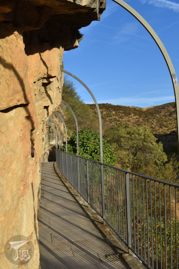
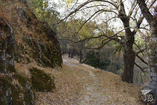
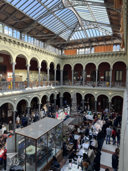
The ETSIME hosts two big fairs a year, Expominerales and Expogema. I missed Expogema last year, because while it’s usually held in late-November or early-December, it happened in September. This year, I wanted to have a look, and I could combine it with other events happening that weekend. Besides, I like the ETSIME, with its little classic museum of mining and geology (Museo Histórico-Minero Don Felipe de Borbón y Grecia) and its eclectic architecture by Ricardo Velázquez Bosco. The building seems to be in perpetual renovation though, but it has a beautiful cloister, which this time around was packed with curious onlookers.
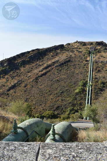
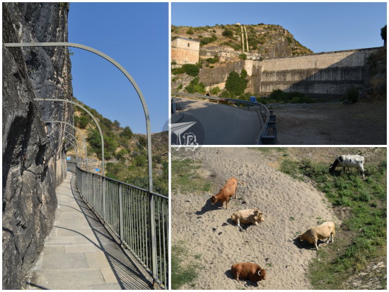
I left the school and walked out towards a former water cistern, now turned into an exhibition hall Sala Canal de Isabel II. The public company Canal de Isabel II manages the water supply in Madrid, which includes the structures around the River Lozoya. In 1858, the first water deposit was inaugurated in Madrid, designed by engineer Juan de Ribera Piferrer. Three more deposits were constructed, even though an accident during the works on the third one caused 30 fatalities and 60 wounded.
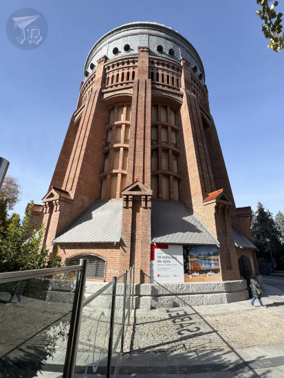
This last deposit was not built underground. It was designed by engineer Diego Martín Montalvo and materialised by Luis Moya Idígoras in 1907. It was a tower made out of mostly brick, and with a height of 36 metres. At the top there was a metal sphere which could hold up to 1500 cubic meters of water. It was used until 1952 to store water, then abandoned, and eventually turned into an exhibition hall in 1986.
In the year 2000, maybe as an operation to improve the reputation of the entity, the foundation Fundación Canal was established, to divulge culture, art, environmental knowledge and the importance of water. Legally, a Spanish foundation must serve “general interest” purposes and must be a non-profit. It might have served as a cover-up or money laundry point, considering that during the 2010s, Canal de Isabel II was involved in several monetary scandals and corruption cases.
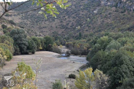
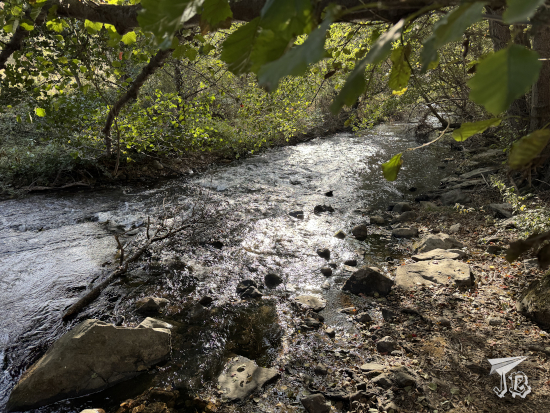
The former deposit was hosting photography exhibition, a sample of the archives they have, called 14 millones de ojos. Colección, fotografía, público (14 million eyes. Collection, photography, public). It was a great excuse to explore both the building and the adjacent park, though most of the area was closed off as it was the weekend. The exhibition was a bit strange, with images all over the place, but some of them were very cool. It is apparently… a collection of pictures that people have taken of items that have been exhibited in the venue before? I am not completely sure… There was a disturbing amount of portraits of people pretending to be naked though…
After a walk around the park, I took the underground and headed towards the central district of Madrid. Since I had started a Christmas ornament collection, buying one in Paris and one in Monaco, I decided to try my luck at finding one for Madrid too. The quest was… surprisingly difficult, but I found a bauble in the seventh souvenir shop I checked.
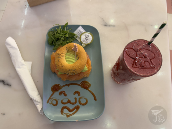
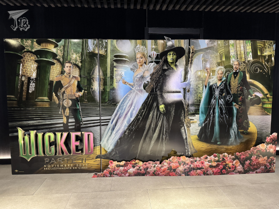
Afterwards, I found a spot at Kawaii Café for a light lunch. Though they were extremely busy, they had a spot for me and given the choice, I actually like their food. Plus, they’ve got discount cards now. I had a smoothie and a salmon bagel which was more than worth its price. Once I was done, I had the time to check out a couple of shops before I headed to Yelmo Cines Ideal to watch Wicked: For Good, the second part of the Wicked film duology, starring Cynthia Erivo and Ariana Grande. I like Ideal because most of the individual cinemas have enough of a slope that I manage to see above the head of the person in the row in front of me.
I ended up with conflicting feelings about Wicked: For good. On the one hand, the film felt about 45 minutes to an hour too long. There were reprises of scenes and extra focus on interactions – especially the love triangle – that I could have done without. Also, random spotlight on characters that I know, but don’t even remember if they were even featured in the first part, such as Elphaba’s nanny. On the other hand, there was no way the “ham” could have fit into just one film, considering how long the first part was already. Nevertheless, I do have the feeling they wanted to delve a little further into the authoritarian dystopia of Oz, and the character of the Wizard. After all, if you have Jeff Goldblum around, you want to feature him as heavily as you can. Either that, or the film-makers tried to show the power of propaganda in some modern societies. And not-so-subtly aim for an Oscar or two – the first instalment competed on ten categories and took home two statuettes, but the second one was not even nominated once.
Wicked: For good focuses on the second act of the Wicked musical, based on The Wonderful Wizard of Oz. If the first half tells the story of how Elphaba “becomes” the Wicked Witch of the West, the second focuses on how that affects her. It surprises me though how come people were not anticipating the hit the Wicked film was going to be. When I went in for the first movie, it was just a regular release. This time around, we had a photocall and staff wearing witch hats and handling magic wands.
Cynthia Erivo does a good job on Elphaba, but in the end, it’s not that hard to portray her as a sympathetic character, since the watcher is the one privy to all her struggles and goals. However, Ariana Grande delivers a fantastic performance – I had watched the musical thrice at this point (four times now), and it is the first time that the character of Glinda has actually touched me. Grande’s approach gives a depth to the “good witch” that it’s often overlooked. The spotlight on her did not feel as a filler to me, and her voice breaking during I couldn’t be happier is a fantastic touch.
There is something I have realised though – if they decide to turn this into a franchise, I don’t think I’ll follow it. I would not have developed such a big emotional connection with Wicked if my first contact with it had been the films – they are way too long. The musical is just the bare minimum to tug at your heart, no fillers. How I wish I had seen the original New York production though…
The film has a few strokes of genius, mostly homages to the 1939 movie The Wizard of Oz, especially how the character of Dorothy, who is only insinuated, is a carbon copy of Judy Garland’s rendition, down to the dress and hairstyle. Furthermore, the wink to Margaret Hamilton’s cackling laughter and Glinda’s reaction – akin to what new generations would have, being absolutely flabbergasted by it – is hilarious.
Speaking of new and generations. On my right, a group of university students who spent most of the film bawling. On my left, a couple – one of them was a fan, the other one had no idea what was happening, and guessing along the way. Further on that side, a little girl loudly wondering what was going on half of the time. The joys of going to the movies at the weekend.
Upon leaving the cinema, I would have usually walked to the train station, but I had no trains. Thus, I had to go to Puerta del Sol to catch the underground. It was packed. I had not realised that they were turning on the Christmas lights that evening! When I had to change, the crowds in the corridors actually felt dangerous, and I was relieved when I could get to the platform in the opposite direction. That was stressful for a few minutes. I was lucky, though, that the first station was not closed and I could get in.
Once in the Avenida de América hub, I bought a coach ticket to get home – thus learning about the “next bus” tickets. Afterwards, I boarded the first scheduled service, which was on time, direct and ran into no traffic jams. I had been fortunate enough to park near the coach station, so I was home within a little over an hour after boarding. All in all, despite the lack of trains, transportation worked smoothly. I saw everything I wanted to, and I had time to spare, the weather was nice and I saw the film spoiler-free. A rather successful day, I’d say.