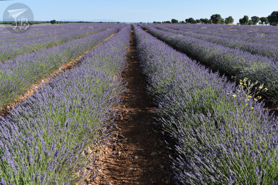
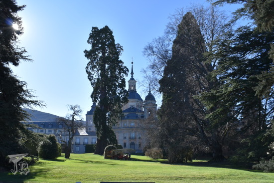
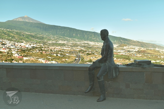
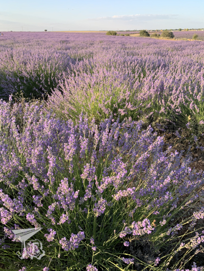
This day trip happened because of a fortune cookie, really. A couple of days prior, I had gone to the supermarket and found they already had fortune cookies, which is scary because they usually only have them around Christmastime. But I like them, so I bought a pack. When I came back from Alcalá de Henares on the 15th, I opened one. It told me to take a relaxing break to recharge. I don’t really do relaxing, so I decided to take a hike instead. Two day trips in a row? Why not? The weather was being uncharacteristically mild, but it was autumn after all. The landscape should look pretty, and the weather could turn any day now. Furthrmore, I had a project starting the following week, so I decided to tackle what would probably be the last hike of the season.
When back in August I decided that I was tired of waiting for people to come hike to the gullies Cárcavas de Mingo Negro and just headed there, I discovered there is another route along the other side of the river Río Lozoya. This route is maintained by the public company that manages water supply in the Community of Madrid, and by extension the dam, Canal de Isabel II.
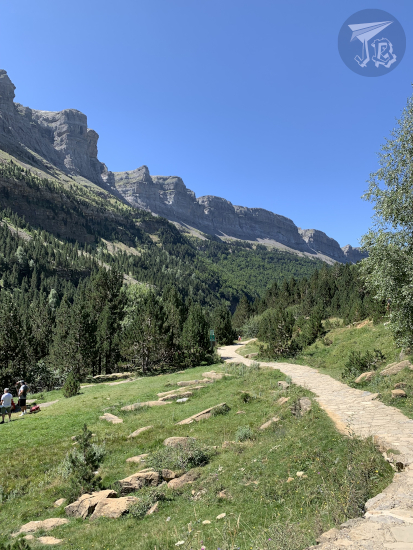
The main reason I decided upon this route was the fact that I did not need to plan anything. Coordinates to the parking spot were right on my Sat-Nav and the route has its own app, with its map, GPS location and videos you can watch at every stop. It offers two options , the short and the long routes. Ironically, the time for both is almost the same: the long circular route takes around four hours, and the short one only takes a couple of hours… but it is linear, and then you have to return. I tried to reason with myself that I’d do the short route and when I reached the end, I would decide whether I would turn back (on known terrain) or venture through the circular hike. I also know that I would need to be very tired in order not to explore the complete route.
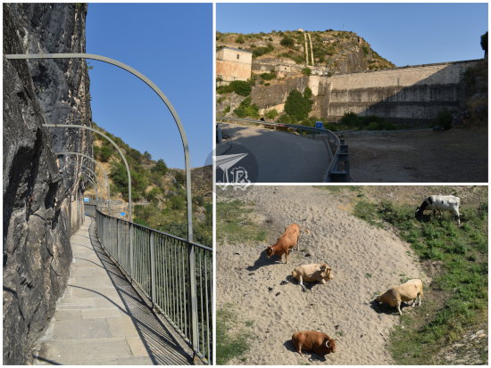
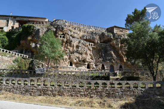
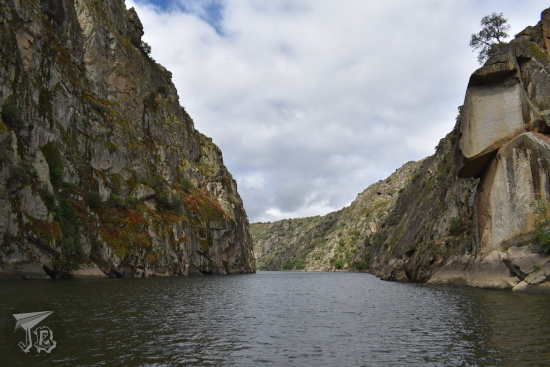
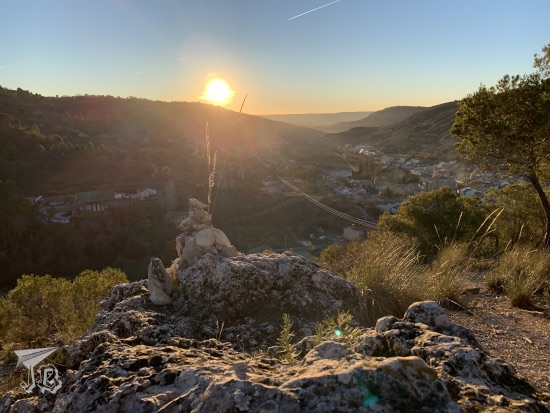
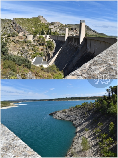
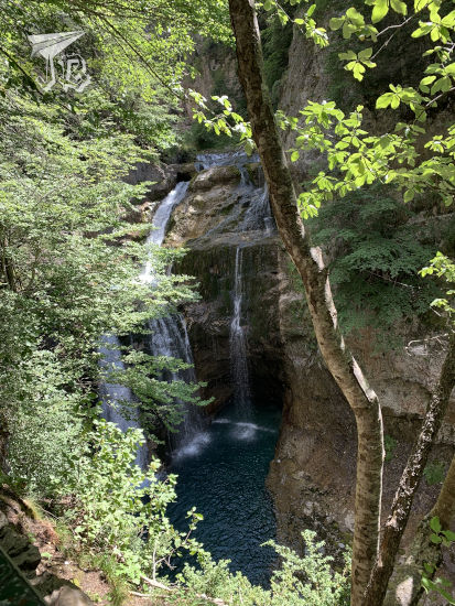
I waited for sunrise before I left the house, and I reached the parking lot around 9:30, earlier than I thought I would. I changed into my hiking shoes and set off. The dam Presa del Pontón de La Oliva, where the route starts, belongs to the municipality of Patones. It was originally designed to gather drinking water from the river Río Lozoya, and built between 1851 and 1856, though it failed shortly after, as water seeped around and underneath the structure.
After Madrid was made the capital of Spain (as early as 1561), it grew in size and population, and in 1848 the government started a project to increase the water supply to the city, which until then had been just covered by public fountains. The physical canal that would carry the water from the river Río Lozoya was named after the then-queen Isabella II (Isabel II) – Canal de Isabel II. After the failure of the Presa del Pontón de La Oliva dam due to percolation, a new one (Navarejos) was built in 1860, and a reservoir (El Villar) created further upstream in 1882.
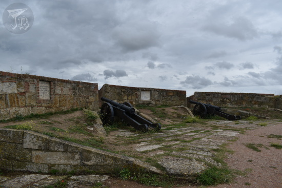
The Canal de Isabel II project expanded throughout the 19th and 20th centuries. In 1977, the entity became a public business. It was then weirdly semi-privatised. Since 1995, its main stakeholder is the actual Community of Madrid, so besides drinking water, it is in charge of residual water treatment and “improvement and protection of rivers”. It manages 13 reservoirs which hold almost 950 million square metres and 78 access points to underground water.
The hiking route Ruta del Agua is part of the wider outreach and cultural plan of the company. It runs along the Río Lozoya river bank, and then back along the service paths and some of the water management buildings. The app is ridiculously easy to use, it is actually a map that pings your location so you know where in the path you are. There are specific points with videos which explain details about the flora, fauna and geology, nifty ARs, and a friendly voice congratulating you on your achievements aka reaching the predetermined spots.
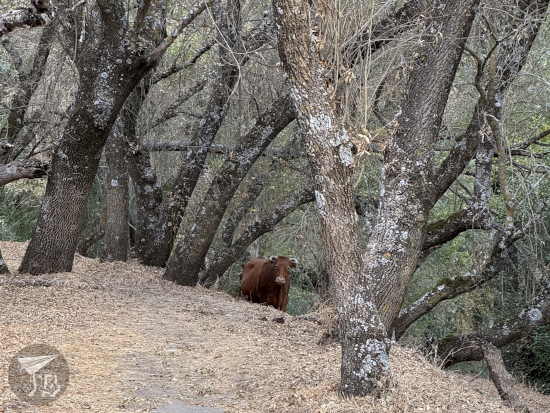
I started at the dam, and there were two surveyors there. I let myself be noticed, but apparently they were not paying attention and I startled them. I asked if it was all right for me to proceed, and they said I would do so under my own responsibility. As if… there was anything else. The first bit of the route runs parallel to the river on the dam structures, and you see the stream underneath. From the path, I checked for cattle since the last time I was there I saw grazing cows. Being free range and all, they might end up in my way. However, most importantly, I wanted to make sure I was not in their way – cows are amongst the deadliest animals in the world, no point in bothering them unnecessarily.
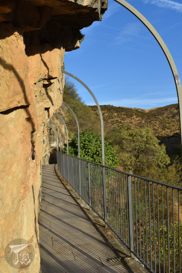
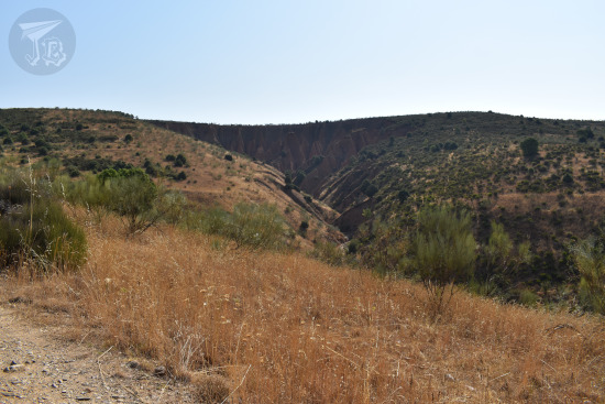
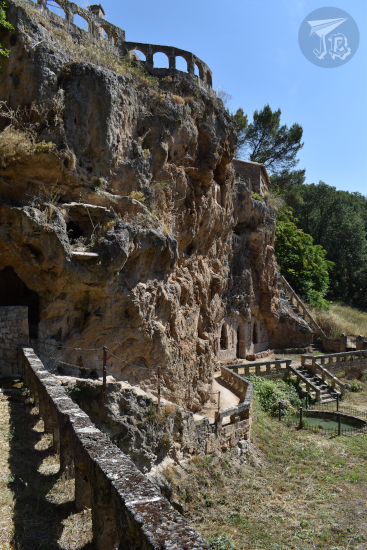
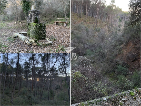
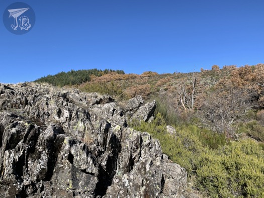
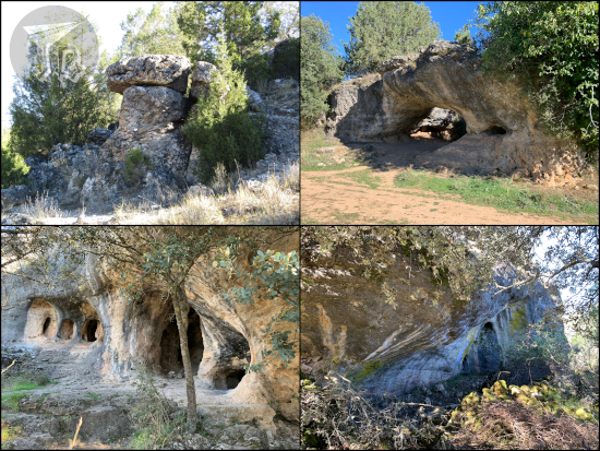
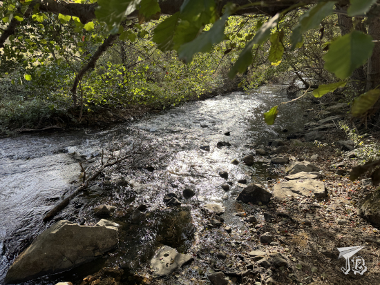
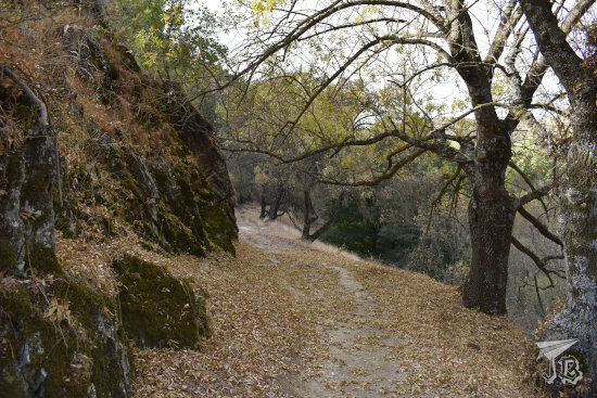
Once I left the man-made bit behind and stepped onto the actual dirt track, I was standing between the two vertical walls that create the valley, the porous limestone that allowed water to seep through it, making the dam project fail. A little upstream from this area, geology changes, and black slates compose the walls and soils. This metamorphic rock is not permeable, so it is great to hold the river course.
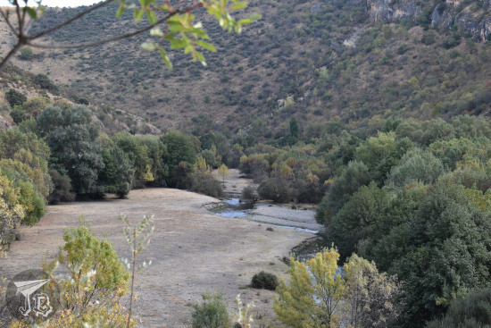
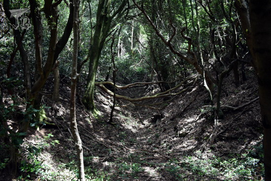
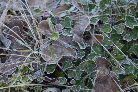
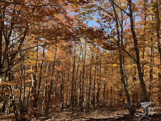
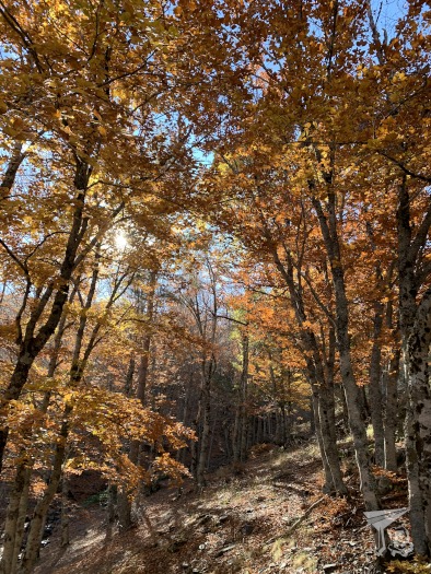
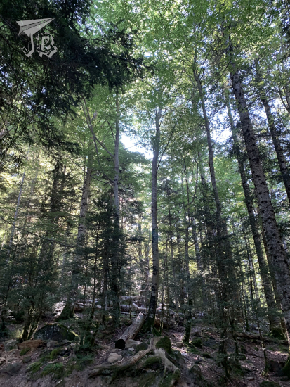
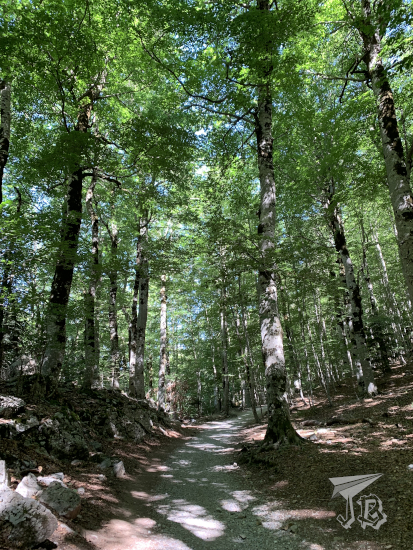
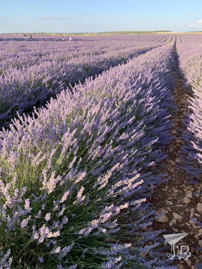
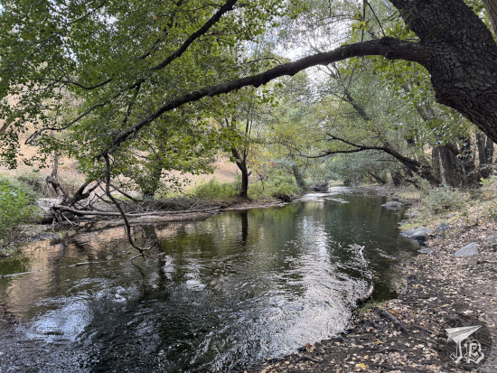
This, as well as the high purity of the water that streams down Río Lozoya, was the reason to choose the area for Madrid’s drinking water. Long before that, it influenced the landscape, creating an uncharacteristic riverbank forest, more typical of the north than the centre of Spain. Where there should be shrubs and bushes, trees grow, particularly ash trees.
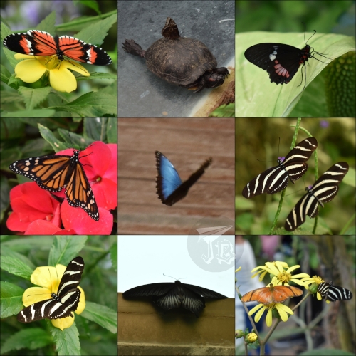
I admit that during this part of the hike I went off track twice. Both times I used animal trails though, and tried not to disturb anything. The path was well maintained except for a small landslide which had taken down a few metres. I was slightly annoyed that I could not manage any photographs of birds, especially the very-common Eurasian crag martin (Ptyonoprogne rupestris, a rock-dwelling bird). I did spot some blue blurs which I want to think were kingfishers, but were probably Eurasian blue tits (Cyanistes caeruleus).
The cows I’d seen last time were on the other side of the river, or so I thought. As I turned on the path, I came eye to eye with one of them, just a few metres away. We stared at each other for a couple of seconds, neither sure of what to do. I stepped to the side to clear the path so she could do whatever she wanted. Since I was not in a hurry I thought I could wait for her to go on her way rather than walking past. She grazed for a few more minutes, then went to meet her friends. I guess it was a close encounter of the moo kind.
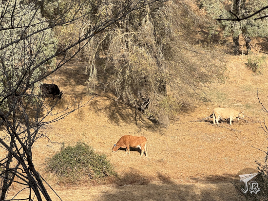
I continued walking and found the enclosure where the cows are kept when not roaming free. I’ve only seen a handful of them both times, but it was big enough for a decently-sized herd. The cows are there – I think – more for historical / sentimental reasons than actual farming. The area used to be criss-crossed by cow paths so the cattle moved around during the year, chasing better pastures. Today, these cows live here all year round, and they get extra hay when they need it.
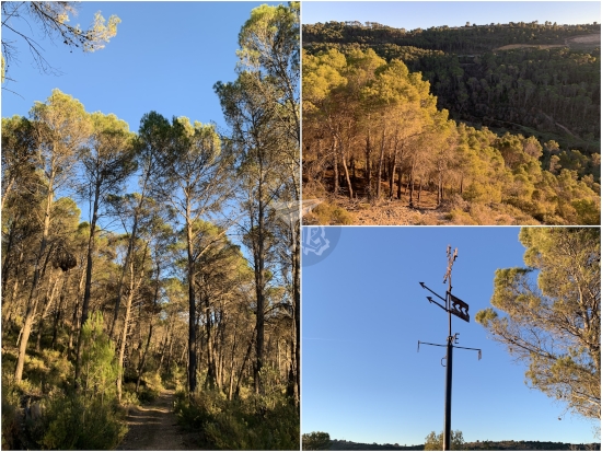
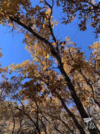
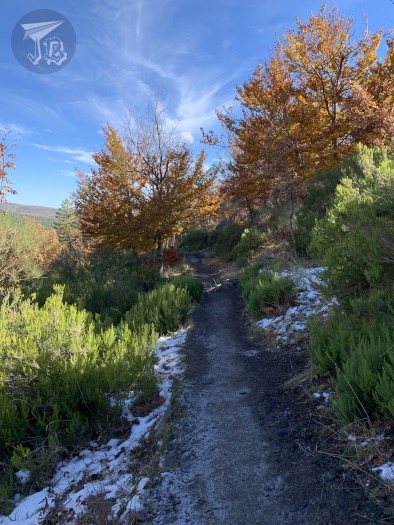
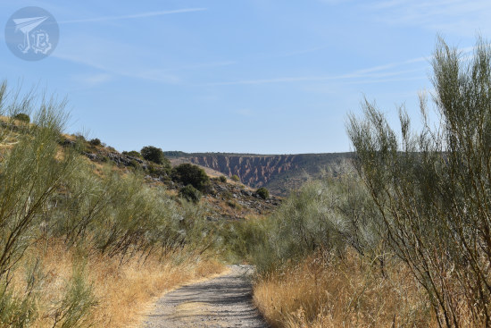
After I had reached the enclosures, I walked onto a wider trail, one fitted for cars. This was about half point, and I’d been walking for about an hour and a half. I had no idea whether actual vehicles would be coming by, so I stuck to the left. The trail went slightly upwards, but it was not hard at all. I was on the slate rock now, and flora was bushy due to deforestation. I was hoping for some pretty autumn colours, but I did not get many of those, unfortunately.
At some point I reached a sign reading “working bees, please take detour”, which placed me in the right position for my best wildlife photography (which was still rather bad, I need lots of practise) of the day – a leaping roe deer (Capreolus capreolus). After the detour, I started coming across other hikers, amongst them a group of deaf people whom I remembered to greet in sign language. I felt proud of myself for that.
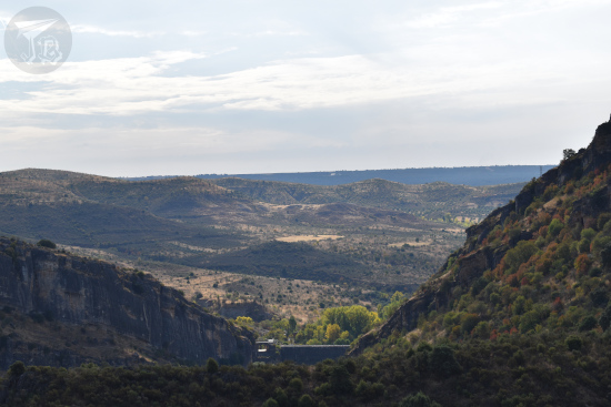
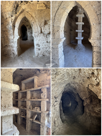
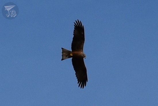
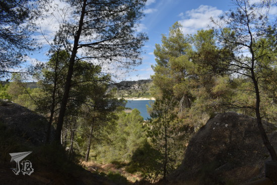
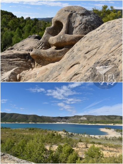
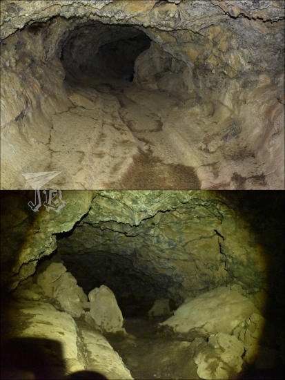
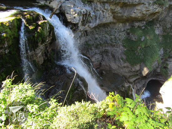
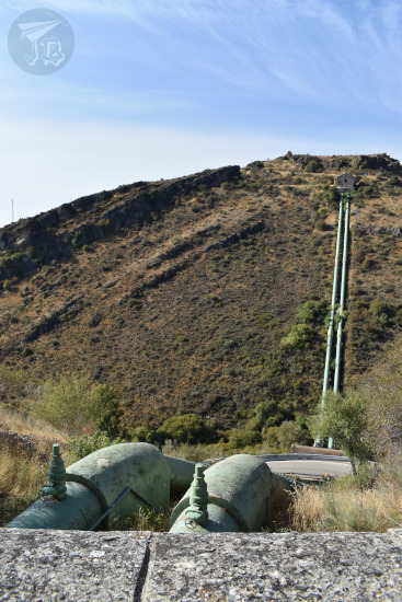
The last leg of the hike runs through tall grass and drinking water structures, including aqueducts, pipes and deposits. The water still comes from the river Río Lozoya’s reservoir Embalse del Atazar. This last kilometre or so goes down the hill again, and I got to see gliding vultures and the gullies from afar.
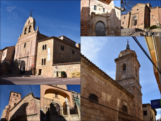
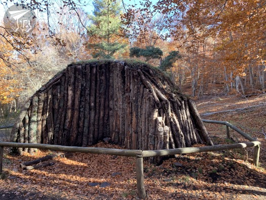
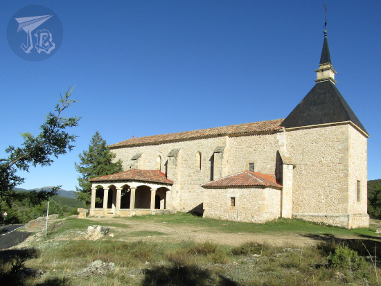
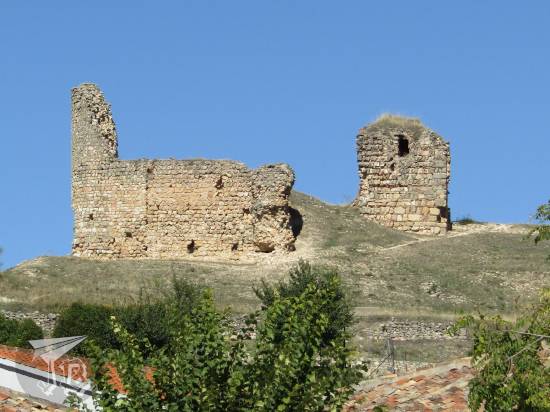
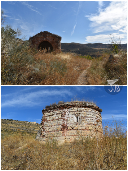
As the route is circular, towards the end I reached the start point. I had seen the small ruined hermit church Ermita de la Virgen de la Oliva. From the original path it just looked like a ruined hut, but from this perspective, I saw that it was actually an interesting building. It is one of the oldest of its kind in the area – it was erected around the 12th century, in a mix of Romanesque and Mudejar styles, using brick and mortar. Though it is ruined now, it is still an noticeable sight.
Afterwards, I just headed back towards the parking lot. I took three hours to hike the circular route – 8 km, 360 metres up and down, and quite a bunch of photographs. I will come back to the area again, I think. I want to see the village, a nearby wind mill, and the large reservoir nearby, El Atazar. But I guess it’ll have to wait till next hiking season…