I tend to judge the advance of autumn from the tree in front of my windows, but I’m starting to suspect it’s an early adopter. Mid-October it was completely gold, and when I left the house, about one third of its leaves had fallen and another third was completely brown. I thought I might get lucky with the forest Bosque de Valdenazar, and see it in its acclaimed fall colours (Spoiler: I didn’t). There had been a recent press release about the restoration and upcoming reopening of the nearby Poblado de Villaflores, so I decided to go check both out, telling myself that it was the last visit to the oak forest this year. Let’s see if I keep it up (Spoiler: I did).
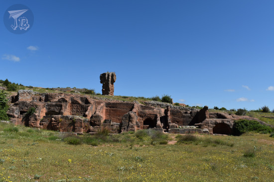
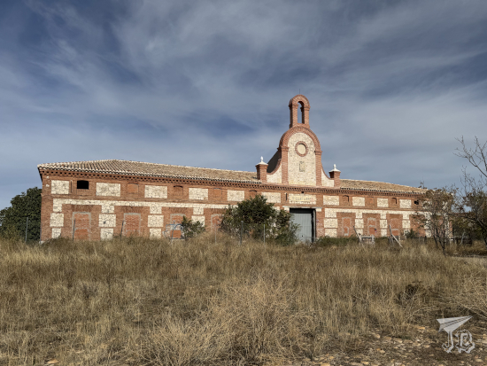
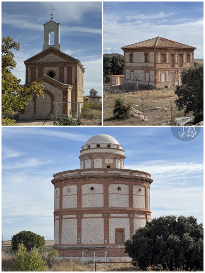
I got on the road mid-afternoon. I reached the entrance / detour / clearing where you drop off the car to Poblado de Villaflores, which technically belongs to the city of Guadalajara, around 14:00. The village was designed by architect Ricardo Velázquez Bosco in the 19th century, and though called a village, it is one of the few agricultural colonies ever built in Spain. The colonies were production units etected on fertile soils, usually designed to be self-sustaining. It’s debatable whether the actual place is located on fertile soil, but rumour has it that the Duchess of Sevillano, an important noblewoman and owner of the land, was more concerned with the actual construction, in order to have something to pay her workers for.
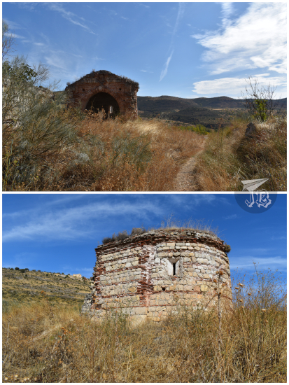
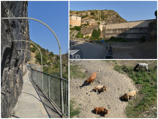
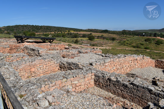
The village has a large farmhouse, several small building blocks, a chapel, and the most recognisable building – a dovecote. All structures were built combining limestone and brick. After the duchess died, the village became abandoned and almost forgotten, and it changed hands several times. Local politicians announced their intention to rehabilitate it in 2002. Nothing happened, even when the area was declared Important Cultural Property (BIC) in 2015. In 2016, the clock tower that crowned the façade of the main house collapsed. An emergency restoration project was finally approved in 2022, with an investment of over two million euro, but there was no serious work on the site until 2023.
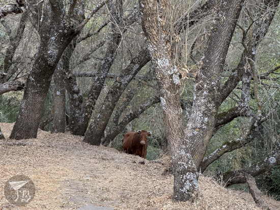
I walked through a small oak tree forest and the cow path Cañada Real de Las Matas, and soon I found myself within the village limits. Of course, all the buildings were fenced off, but the restoration looks really good! The last couple of times I visited, everything was ruined and overgrown. It’s still overgrown, but the clock tower has been rebuilt (though the shield that was recovered from the collapse has not been replaced), doors at the houses have been installed, and the chapel completely re-erected. The buildings look clean and stable.
Construction finished about a year ago, and the security warnings still look pretty new, but the restoration information sign has already been vandalised. There is no informational signage yet, and I fear the whole thing will end up all derelict again – nobody really knows what to do with the village. It would be such a pity, the whole thing is an interesting unit, though I am not sure what can be done with it. Maybe yet another perpetually-closed interpretation centre… Seriously though, with all the urban orchards boom and rural depopulation, along with the cow paths nearby, something related to actual agriculture or livestock would be fun. Or homing pigeons! I mean, the dovecote is there for a reason, right?
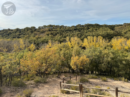
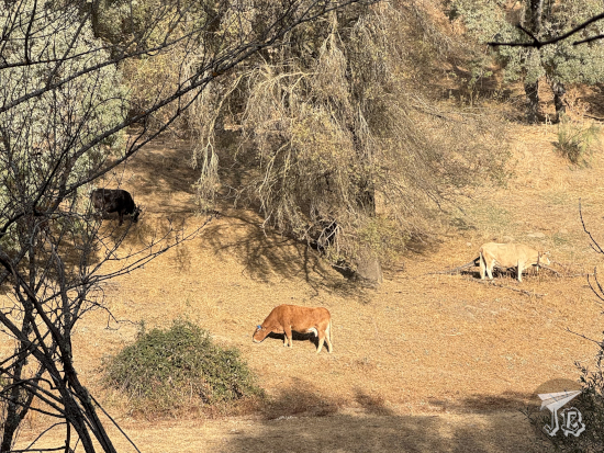
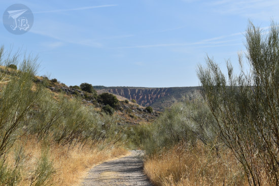
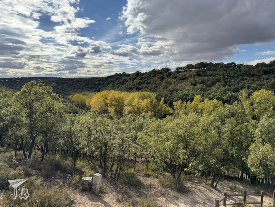
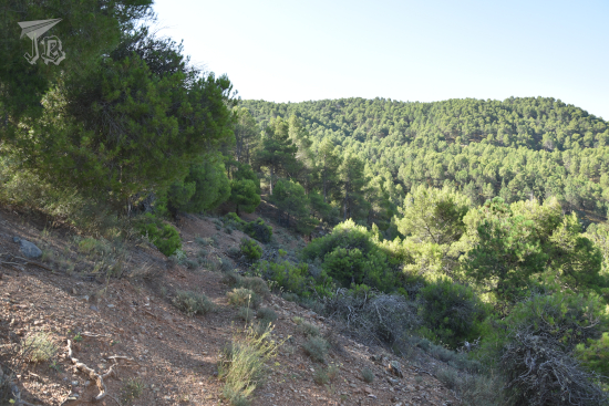
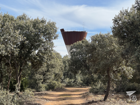
Afterwards, I crossed the road to explore the not-so-small Portuguese oak (Quercus faginea) forest along the cow path. The trail also goes above the main road, and it’s not accessible by car. It felt like a very nice place to explore in spring, though I can’t tell how many cows one would run into these days (and I’m okay with no more encounters of the moo kind). I wandered around for a bit, then headed back towards the car.
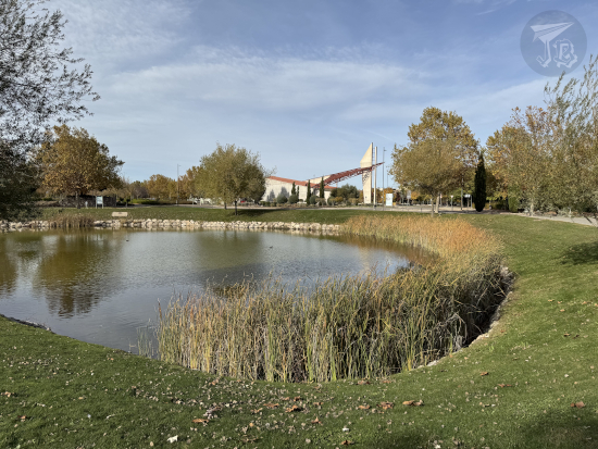
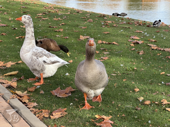
There was still a serious lack of autumn colours, but that was over when I reached Ciudad Valdeluz itself, a neighbourhood of Yebes. The local park Parque de la Paz y los Derechos Humanos did have trees that had turned gold, brown and red. There was also a pond full of fish and waterfowl, particularly a couple of very opinionated geese who quacked their disapproval that I was not carrying any snacks for them – the pond had until recently been quarantined due to avian flu, but the sanitary cordon had been taken down now.
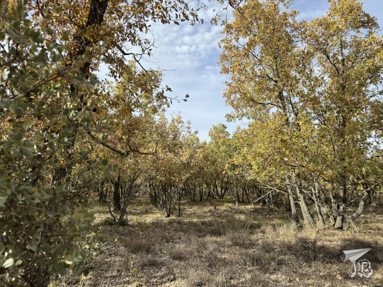
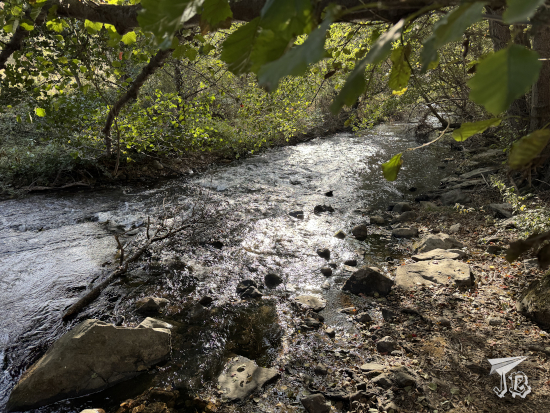
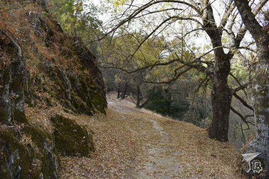
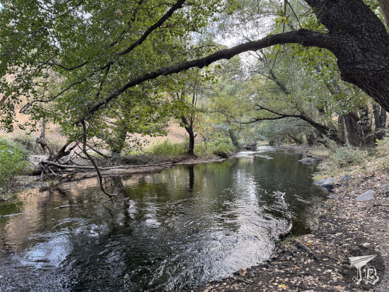
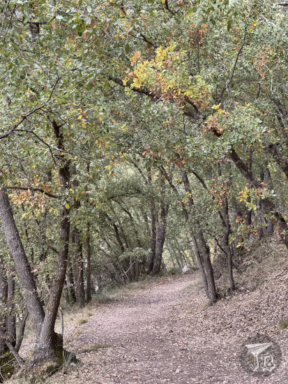
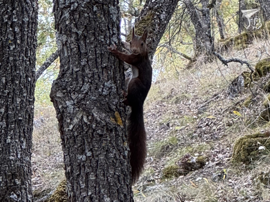
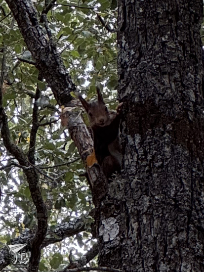
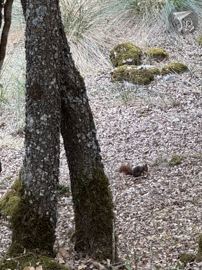
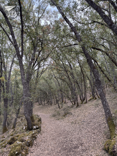
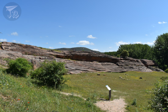
I continued on towards the Bosque de Valdenazar, mainly composed of Portuguese oaks (Quercus faginea), holly oaks (Quercus ilex) and a few riverbank species. The only animals I’ve ever seen are red squirrels (Sciurus vulgaris), but I’ve spotted some deer and boar tracks. The Portuguese oaks actually seem to just be a continuation of the part that I had seen on the other side of the road, along the cow path. It strengthened my idea that I need to explore the Cañada Real de Las Matas better. Unlike that area, the little forest was packed, including couples taking romantic pictures and families with young kids. The weather was nice, so there were quite a few people having a picnic. The colours were slightly more golden than the previous time, but not much. Since it was a Sunday and there were people around, there was no chance to catch a glimpse of any wildlife, so after taking the standard walk, route Ruta SPG-24, I left, hoping not to catch much of a traffic jam on my way back to the city.